

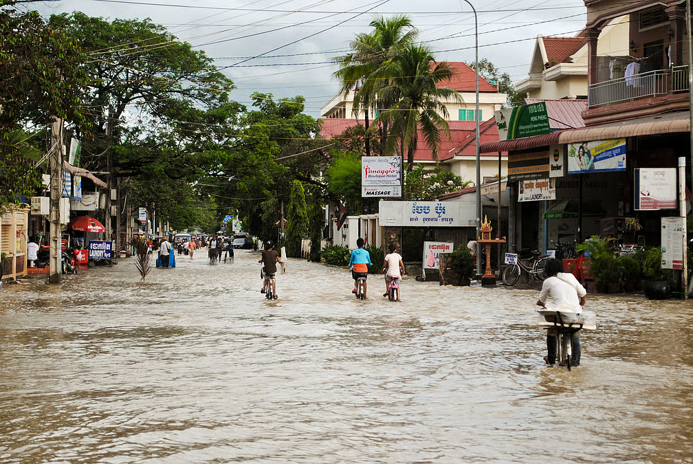
India’s flood preparedness has improved significantly over the past decade, with district administrations now using better forecasting tools, stronger emergency coordination and technology-driven warning systems. However, recurring monsoon flooding continues to expose infrastructure gaps, especially in many Tier-2 and Tier-3 cities where rapid urbanisation has outpaced drainage and flood management planning.
Flood preparedness in Tier-2 India has become a major focus during the 2026 monsoon as several states remain on alert for heavy rainfall. Compared to previous years, district authorities now have access to improved weather forecasting, digital communication systems, disaster response teams and better coordination with state agencies. Even so, experts say preparedness is no longer measured only by emergency response. It also depends on whether districts can prevent flooding through planning, infrastructure and public awareness.
Better Early Warning Systems Have Strengthened District-Level Response
One of the biggest improvements has been the expansion of district-specific weather forecasting. The India Meteorological Department now issues district-wise heavy rainfall forecasts several times a day, allowing local administrations to prepare before extreme weather strikes. These warnings are shared through websites, mobile applications, social media, messaging platforms and emergency communication systems. State governments are responsible for ensuring these alerts reach citizens through local emergency networks.
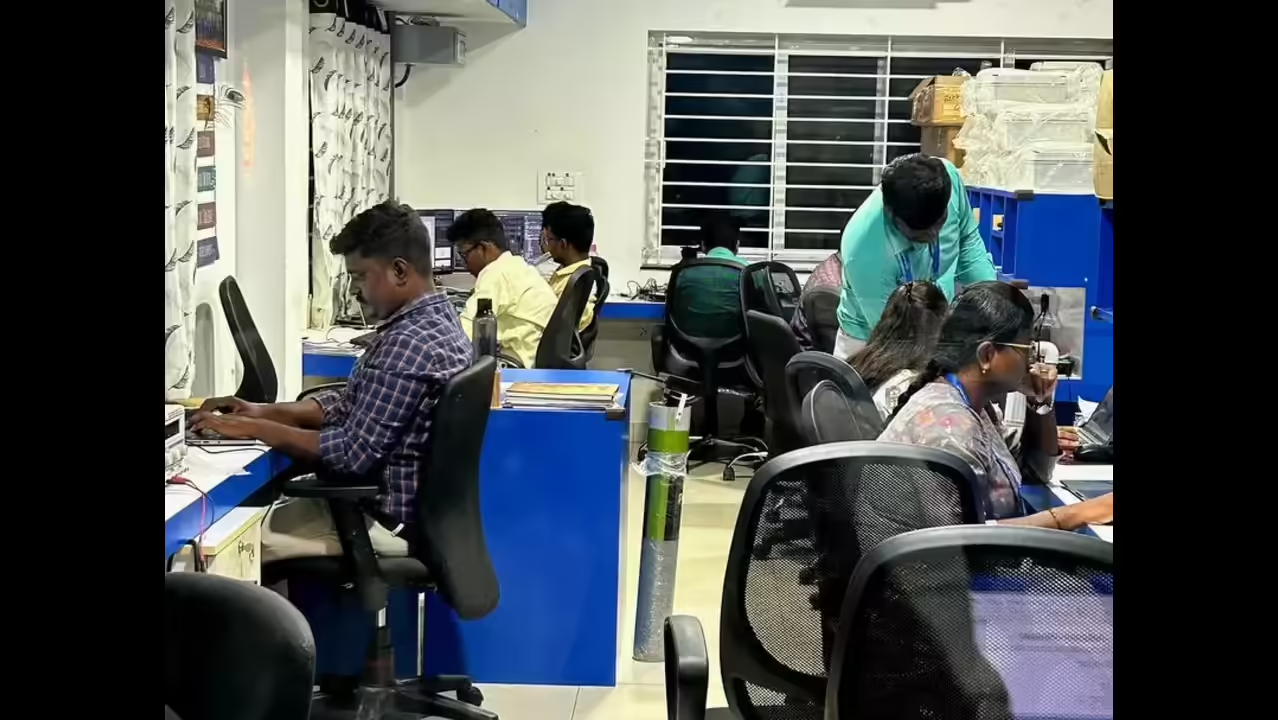
Many district administrations have also strengthened their Emergency Operation Centres during the monsoon season. Officials regularly monitor rainfall, reservoir levels and flood-prone locations while coordinating with police, fire services, health departments and disaster response teams.
In states such as Maharashtra, pre-monsoon review meetings now involve district collectors, transport authorities, railway officials, emergency services and defence agencies to improve coordination before heavy rainfall begins. Authorities have also discussed using AI-enabled systems to improve emergency dispatch and response during disasters.
Technology Is Improving Preparedness, But Local Infrastructure Still Matters
Technology has become an important tool in flood management. Satellite monitoring, GIS mapping, automated rainfall gauges and river monitoring systems help authorities identify vulnerable areas more quickly than before.
The Central Water Commission provides flood forecasts using river observations, rainfall data and weather forecasts, giving districts additional time to prepare for rising water levels. States are also being encouraged to implement floodplain zoning to reduce future construction in high-risk areas.
Despite these advances, infrastructure remains a major challenge in many Tier-2 cities. Poor drainage systems, encroachment on natural water channels, blocked stormwater drains and rapid urban expansion often result in severe waterlogging even after a few hours of intense rainfall.
Cities experiencing rapid growth frequently struggle because drainage capacity has not kept pace with new housing colonies, commercial developments and expanding road networks.
District Disaster Management Plans Are Becoming More Practical
Every district in India now prepares a District Disaster Management Plan under the Disaster Management Act. Earlier, many of these plans remained largely procedural. Today, several districts conduct mock drills, identify flood shelters, pre-position rescue equipment and maintain updated evacuation strategies before the monsoon begins.
Preparedness now involves multiple departments working together instead of relying solely on disaster response agencies. Health officials stock emergency medicines, electricity departments prepare restoration teams, public works departments inspect bridges and roads, while municipal bodies clean drainage systems ahead of heavy rains.
This shift towards coordinated planning allows faster decision-making when rainfall intensifies and reduces delays in deploying rescue resources.
Climate Change Is Creating New Challenges for Tier-2 Cities
Although preparedness has improved, climate variability is making flood management more complex. Rainfall is becoming more intense over shorter periods, increasing the risk of flash floods in areas that previously experienced only seasonal waterlogging.
District administrations are increasingly dealing with situations where a month’s average rainfall may fall within just a few days. This places enormous pressure on drainage infrastructure, transportation systems and emergency services.
States have also started integrating scientific research and advanced monitoring systems into disaster management. Recent initiatives include testing satellite-based flood warning technologies and expanding hazard mapping for vulnerable regions to improve future preparedness.
Preparedness Has Improved, But Prevention Must Become the Next Priority
District authorities across India are undoubtedly better equipped today than they were a decade ago. Faster weather forecasts, improved coordination, digital alerts and better disaster response mechanisms have strengthened emergency management considerably.
However, the true measure of flood preparedness lies beyond rescue operations. Long-term investment in drainage infrastructure, protection of natural water bodies, stricter urban planning and public awareness will determine whether Tier-2 cities can reduce flood risks instead of repeatedly responding to them.
As monsoon patterns continue to evolve, India’s district administrations will need to combine technology with sustainable urban planning to build resilience against increasingly unpredictable weather.
Takeaways
- District administrations now receive faster and more detailed weather warnings than before.
- Technology has improved emergency response through forecasting, monitoring and digital communication.
- Poor drainage and unplanned urban growth remain major causes of flooding in many Tier-2 cities.
- Long-term urban planning is essential to reduce future flood risks despite stronger disaster preparedness.
Frequently Asked Questions
Q1. Are district authorities in India better prepared for floods today?
Yes. District administrations now benefit from improved weather forecasting, emergency coordination, disaster management plans and better communication systems compared to previous years.
Q2. What is the biggest challenge for Tier-2 cities during floods?
Inadequate drainage infrastructure, encroachment on natural water channels and rapid urban expansion continue to increase flood vulnerability.
Q3. How do early warning systems help during floods?
District-specific weather forecasts provide advance notice of heavy rainfall, allowing authorities to deploy resources, issue public alerts and prepare evacuation measures before flooding occurs.
Q4. Can technology completely prevent flood disasters?
No. Technology improves forecasting and response, but long-term flood prevention also depends on urban planning, drainage improvements, environmental conservation and responsible land use.
(Internal keyword suggestions: flood preparedness in India, Tier-2 cities flood management, district disaster management authority, monsoon preparedness India, IMD weather alerts, flood early warning system, urban flooding India, disaster management plans, flood resilience, district administration preparedness)









Leave a comment